Day 2 – Staunton to Shippensburg, PA
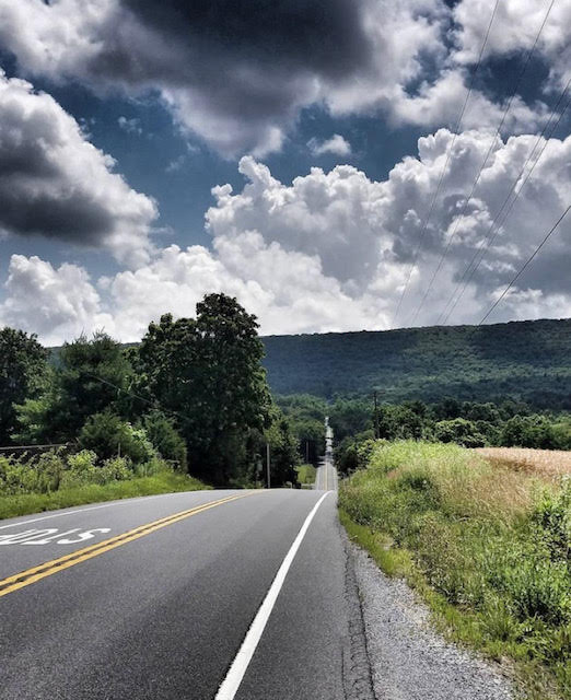
Day Two begins in the heart of the Shenandoah Valley, nestled between the Blue Ridge mountains and Massanutten Mountain to the east, and the Ridge-and-Valley Appalachian Mountains to the west. The Valley affords long vistas of pastureland, mostly of cattle grazing. This speaks of an agricultural heritage, including service as a “breadbasket” for the Confederacy and prowling Union armies.
From Staunton the terrain continues to roll, but with a gradual loss of about 1,100’ of elevation in the first 165 miles of the day. About 25 miles (mile 258) from Staunton there are numerous services in Bridgewater for second breakfast, including some places offering local charm. 15 miles past there, Grandle’s Glen View Market in Singer’s Glen (mile 273) provides convenience store fare. 50 miles from Staunton the day’s first control pops up in Broadway, where offerings are limited to a 7-Eleven (mile 288).
As you continue north up the Valley, the next control is on the outskirts of Winchester, a small city (mile 345). In between those two controls there are several re-supply possibilities. At Winchester lunch may be on your mind, with possibilities including Dairy Queen, Zaxby’s Chicken Fingers and Buffalo Wings, Waffle House, Starbucks, Tropical Smoothie, and convenience stores.
The next 60 miles are some of the least challenging on the Mason-Dixon, averaging less than 35’ of climbing per mile, with a net elevation loss. About 17 miles from Winchester you enter West Virginia (mile 362), the state that seceded from Virginia during the Civil War. We only ride about 22 miles in WVa, ending in Shepherdstown (mile 384). Shepherdstown served as a hospital town when the Antietam battled raged five miles away in September 1862. If you make good time you can enjoy the Sweet Shop (closes 5 pm), which offers sweet and savory food, and good coffee. On the way out of town you cross the Potomac River and enter Maryland.
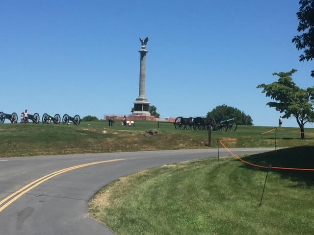
Antietam is a solemn battlefield (mile 388), much more subdued than Gettysburg that you will visit on Day 3. This fits Antietam’s horribly bloody legacy, where more American soldiers died in one day than in any other war in our history. Our route touches the western edge of the National Battlefield, while we head north toward the Mason-Dixon Line and Pennsylvania.
The Battleview Market (mile 388) is the kind of place you might ride by if you did not know better. Most riders will make it here by closing (9 p.m.), and the sandwiches have pleased many a hungry randonneur. Otherwise, you might try a 24H convenience store in Williamsport (mile 401). The next control is 23 miles up the road in Mercersburg, PA (mile 424), with standard fare available.
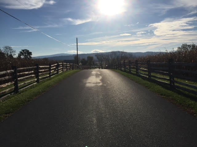
The final 33 miles of the day remain in the same valley we’ve been in all day, but called the Cumberland Valley after crossing the Mason-Dixon Line. The roads remain among farms almost to the end of the day, with the density thickening up a little in the final miles before Shippensburg (mile 457).
When you cross the Mason-Dixon Line into Pennsylvania (mile 411), the chances of seeing Amish and Mennonite Plain People increases, particularly as we approach Shippensburg. Our food for riders in Shippensburg comes from the Amish Maplewood Farm Market, including their fresh baking. Dinner will be sandwiches from their meat and cheese platters, using their bread, plus soft drinks, beer and wine. We’ll have Maplewood cookies and maybe some pie they bake, too. Breakfast on Day 3 also features Maplewood supplies, with eggs and pancakes cooked by volunteers, along with maple syrup and fruit that includes seasonal local berries, juice and coffee.
Blue Mountain – Near Shippensburg


